Return to "Gold dredging operation on North Fork of FortyMile river in Alaska"
Gold dredging operation on North Fork of FortyMile river in Alaska
Below are maps of the river bottom claims.
The markings I made on the maps are close but not 100%
For more detailed info please check out the Alaska mapper site:https://mapper.dnr.alaska.gov/
Be sure to scroll all the way down to see all of the maps.
To truely do your do diligence please use the Alaska Mapper for the exact information.
Please note: These maps are best viewed on a larger screen such as a TV or Desk Top computer.
|
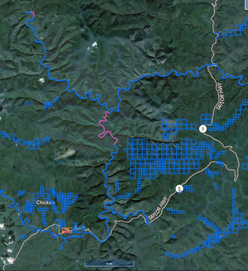
This is a map of the South fork, North Fork, and Main stem of the 40 Mile River.
Everything in Blue is a State mining claim.
|
|
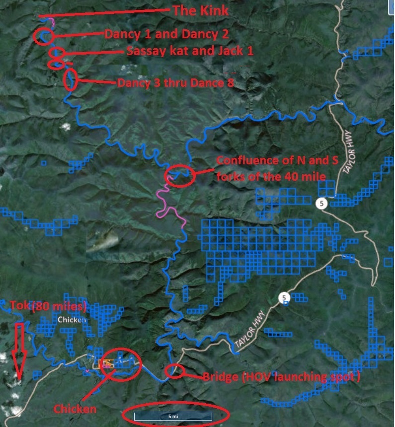
This is the same map as the one above but it shows where my river claims are located on the North Fork
|
|
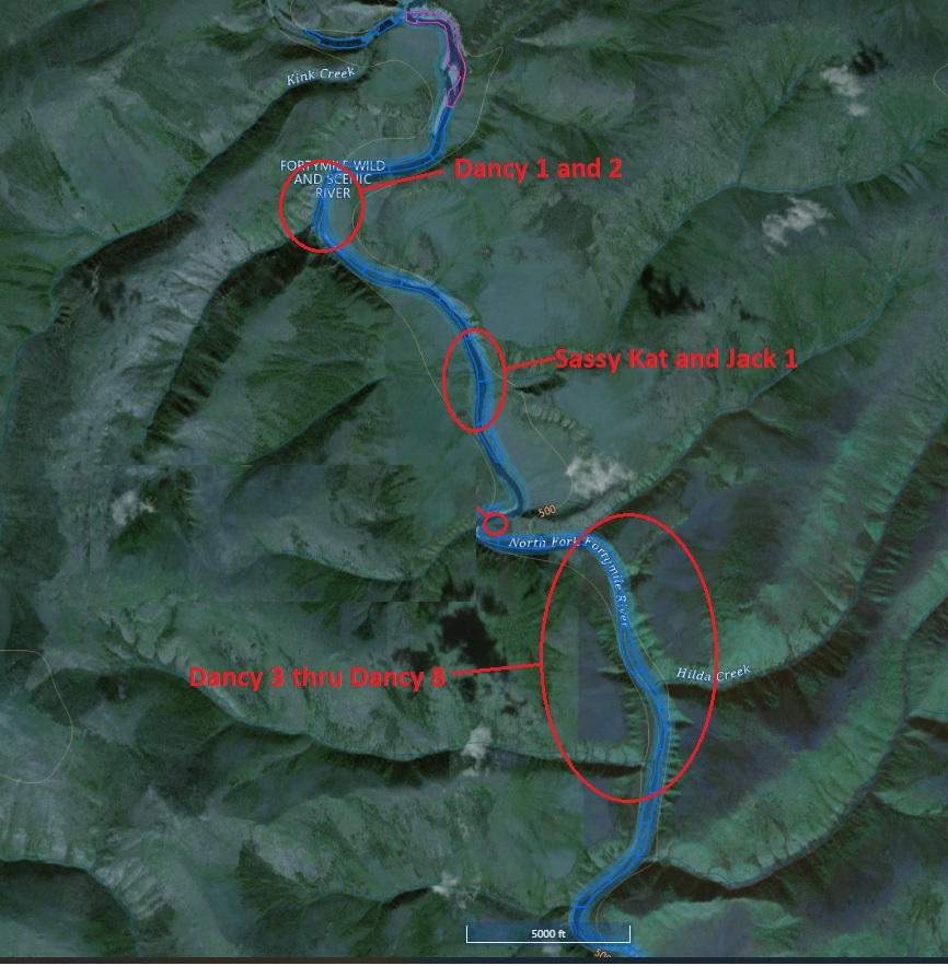
This picture is a close up of the area around the river claims with marks indicating location of claims.
|